By 1959, the Democratic Republic of Vietnam (North Vietnam) and the elements of what later became known as the National Front for the Liberation of South Vietnam had realized that it was not possible to have the country re-unified via a general election as stated by the Geneva Accord in 1954, and that the only way to bring the 2 pieces of the country together again was through a military victory.
Vietnam Historical Tours: Ho Chi Minh Trails
1/ Debut of Ho Chi Minh Trails 1959
On Ho Chi Minh's birthday in 1959, May 19th, the Military Transport Group 559 was established. Their mission was to build a secret route for supplying manpower and materials for the coming offensives in South Vietnam. The route later was known to the world as Ho Chi Minh Trail. In Vietnam people commonly refer to the trail as Truong Son Road (Duong Truong Son) after the mountain range that was home to most legs of the trail.
2/ The Truong Son Mountain Range
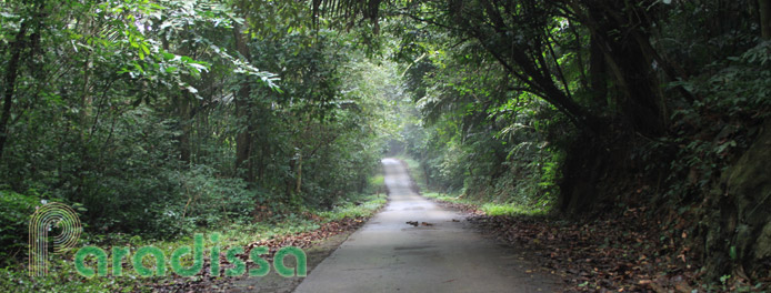
Dzay Truong Son (or the Long Mountain Range) runs almost the full length of Vietnam on the western side of the country, starting from Thanh Hoa Province passing through Nghe An, Ha Tinh, Quang Binh, Quang Tri, Thua Thien Hue, Da Nang and the Central Highlands. There were many areas of the Truong Son Range that human beings hadn't set foot on and Truong Son was the area of the most untouched primeval dense triple-canopy jungles in Vietnam.
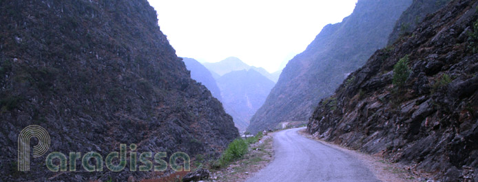
The area of Truong Son includes the most rugged terrain in South East Asia with peaks ranging from above 1,000m to over 2,500m in elevation, with deep ravines, waterfalls and rivers. Building the trails into a military supply route was no easy task, carrying war supplies on the trails was no easy task, keeping the flows of traffic on the trails unstopped by ferocious and incessant aerial bombings was no easy task. The Vietnamese managed to complete the 3 tasks miraculously which has still been one of the less-known legends of the Second Indochina War.
3/ Transformation of the pioneer group
The 559th Group originally dispatched to do the job included nearly 500 young men and women in May 1959. Only 1 year later, the 559th had 6,000 more personnel added. During its development the 559th had over 200,000 personnel at the peak time which actually turned the originally small transport group into a powerful and efficient military zone which included many divisions, each of which was organized into regiments and battalions such as bicycle-transport battalions, truck-transport battalions, boat-transport battalions, man-portering battalions, engineer battalions, commo-liaison stations, anti-aircraft artillery battalions, worker and civilian laborer groups, security & ground-combat battalions, communication battalions, petroleum pipeline regiments...
4/ Ho Chi Minh Trails
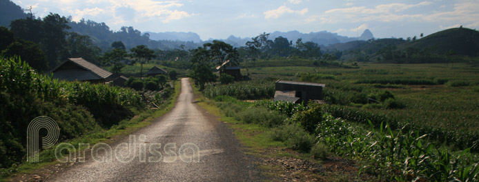
Ho Chi Minh Trails were originally a series of foot paths, dirt roads which gradually developed into a system of 5 main lines of 2-lane paved roads with myriad bypass roads, entry roads connecting the main lines on the east and the west of the Truong Son Mountain Range.
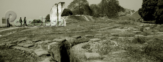
The total length of truck-passable roads was around 20,000km, of which 3,140 km was so well camouflaged that it allowed trucks to travel on in both day time and night time; the total length of the petroleum pipeline was 1,400km; thousands of bridges across rivers and ravines, many of which below the surface of water, were built. There were supply bunkers, storage areas, barracks, hospitals, truck parks and command and control facilities along the trails. All of these were hidden from aerial observation by both natural and man-made camouflage.
Transportation was not only made by road, but also by waterways which supplemented great amount of supply materials in both dry and rainy seasons. Also materials were contained in air-tight bags and sent down the river ways and collected by a system of nets and booms down the river course.
Apart from the system of trails that traveled through the Truong Son Range, another supply route known as “Ho Chi Minh Trail At Sea” was used with fleets of disguised fishing boats carrying materials and docking on secret piers along the coastal region south of Sai Gon.
The intricate system of supply routes allowed the continual flows of supplies into the South, even under furious aerial bombardments. Even though various interdiction attempts were made by the US Air Force and US Army utilizing the most sophisticated technology such as intensive aerial bombings, McNamara Lines, Sensors....
5/ The Historical Figures
The records made by the 559th Group during the 16 years (1959 – 1975) included the reclamation of 29 million cubic meters of soil, reclaiming 78,000 bomb craters, destroying 12,600 magnetic bombs, 8000 unexploded bombs and 85,100 mines, shooting down 2,450 air crafts, transporting over 1 million tons of supplies and millions of personnel...
6/ Ho Chi Minh Road – Weaving more legends in the new era
Ho Chi Minh Trails have become one of the legends of the Second Indochina War, it symbolized the aspiration of the Vietnamese to bring back peace to the Fatherland. Marching on the trail was the inspiration of a generation of this people to re-unify the country. In 2000, the Vietnamese Government started to work on the North-South Highway by expanding the former legendary trail to facilitate the economic growth of the country in the new era. Hopefully the new highway could bring more legends in turning Vietnam into a new tiger economy…
Paradissa hosts quite a few Vietnam history tours and Vietnam battlefield tours which include visits to a few samples of the former Ho Chi Minh Trail. Be it you are a historian, a history researchers or a war veteran, Paradissa team is more than happy to tailor a trip specifically for you. Our battlefield tours are led by unbiased and knowledgeable tour guides full of local insight. Do not hesitate to contact our travel specialists for further details.


