Dien Bien Phu Holiday Weather today
Date/time of update: April 22, 2025, 12:40 am, Timezone: GMT+7
Overcast Clouds
Temperature: 23.85°C
Temperature feels like: 24.56°C
Minimum Temperature: 23.85°C
Maximum Temperature: 23.85°C
Atmospheric pressure: 1012hPa
Humidity:87%
Visibility: 10000m
Wind speed: 0.71m/sec
Wind Direction: 244 degrees
Cloudiness: 100%
Sunrise: 2025-04-21 10:43:16
Sunset: 2025-04-22 11:29:19
The Tham Pua Cave is at the base of the Pu Hong Cay Mountain on the edge of the Ban Bo Village, Chieng Dong Commune (before 2013 it was Chieng Sinh), Tuan Giao District, Dien Bien Province.
History
It was here that housed the Headquarters of the Viet Minh from 7-December-1953 to 17-January-1954. Then the Headquarters was relocated to Huoi He Village (Km 62 near the Na Tau Village, 18-January-1954 to 30-January-1954) and finally to Muong Phang (31-January-1954 to 15-May-1954).

And it was at the Tham Pua Cave that important decisions on the Battle of Dien Bien Phu (or Dien Bien Phu Campaign) were made by the Viet Minh’s commanders on 14-January-1954. It was here that tasks were delivered to the divisions of the Viet Minh’s troops on a big sand table. Initially, the strategy was Swift Attack To Win (more like using the strongest of firepower all at once) and the date was chosen to be 17:00 hours on 25-January-1954. The initial plan was later changed to Attack only if Certain of Winning, Advance only if Target Removed.


How to get there
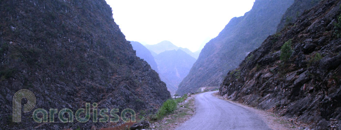
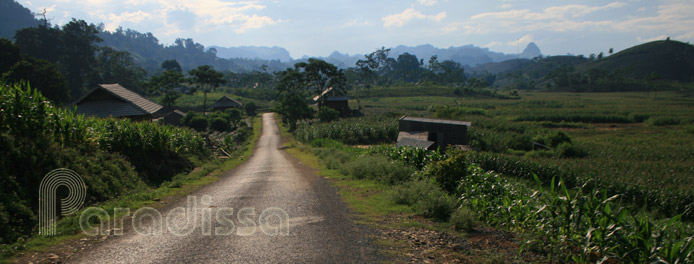
The cave is 2km from the Bung Lao Bridge via a small village road by a river with beautiful mountains and valleys around.
Dien Bien Average Monthly Rainfall and Temperatures


