")
")
")
Dien Bien Phu Holiday Weather today
Date/time of update: April 22, 2025, 12:40 am, Timezone: GMT+7
Overcast Clouds
Temperature: 23.85°C
Temperature feels like: 24.56°C
Minimum Temperature: 23.85°C
Maximum Temperature: 23.85°C
Atmospheric pressure: 1012hPa
Humidity:87%
Visibility: 10000m
Wind speed: 0.71m/sec
Wind Direction: 244 degrees
Cloudiness: 100%
Sunrise: 2025-04-21 10:43:16
Sunset: 2025-04-22 11:29:19
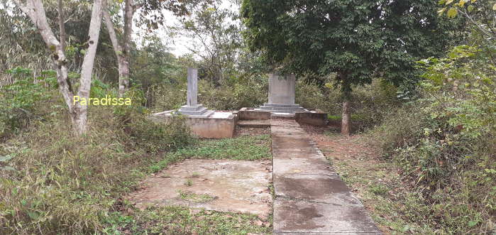
E1 Hill (Dominique 1) belonged to the Dominique Group protecting the French Hedgehog at Dien Bien Phu from the northeast.
E1 is 1.9km from the French Commander Post (approximately 1.2km via a beeline). Originally the hill was about 60-70m high from the ground. From E1, all movements on Route 41, the French Central Zone, and the Muong Thanh Airport were visible.

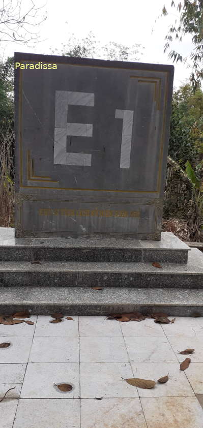
On the E1 Hill, there was a system of trenches connecting bunkers. On the brim of the trenches, there was a hole every 3m containing grenades. The bunkers were covered by timbers of 20-40cm and sandbags, and there were gun-holes with commanding views of the surrounding.


Dien Bien Average Monthly Rainfall and Temperatures


, Dien Bien Phu Battle")


