Dien Bien Phu Holiday Weather today
Date/time of update: December 17, 2025, 12:30 am, Timezone: GMT+7
Broken Clouds
Temperature: 17.51°C
Temperature feels like: 17.59°C
Minimum Temperature: 17.51°C
Maximum Temperature: 17.51°C
Atmospheric pressure: 1020hPa
Humidity:87%
Visibility: 10000m
Wind speed: 1.28m/sec
Wind Direction: 87 degrees
Cloudiness: 53%
Sunrise: 2025-12-16 11:38:58
Sunset: 2025-12-17 10:28:59
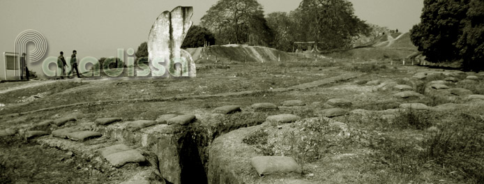
Doc Lap Hill was one of the two French Strongholds of the Northern Zone protecting the Hedgehog from the north.
Vietnam Historical Tours: The Dien Bien Phu Battle
The Muong Thanh Valley or the site of the Dien Bien Phu Battle was accessible by three important routes:
- The route heading north to Lai Chau, another French important outpost in the Northwest of Vietnam (Route 12 now). On this route there was Doc Lap Hill (Gabrielle), a French stronghold of the Northern Zone of the Hedgehog.

- The route heading northeast to Tuan Giao (Route 41 then or Route 279 now). On this route there was Him Lam Hills (Beatrice), a French stronghold of the Central Zone of the Hedgehog. It was located to the northeast of the hedgehog but it was part of the Central Zone for its importance and for better co-ordination of firepower.
- The route heading south to Laos, escape route (Route 279 now) which was protected by Hong Cum (Isabelle), the Southern Zone of the Hedgehog;

Doc Lap Hill was an isolated hill 4km north of the Commander Post of Dien Bien Phu. The hill had sweeping views of the whole flat surrounding. Doc Lap Hill position gained the defenders whatever favorable advantage over attackers from any direction.
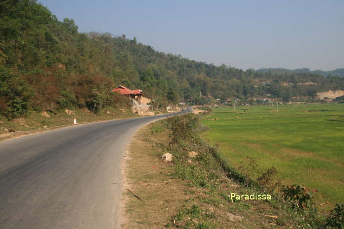
While Him Lam had the strongest elite force of the French troops with deadly powerful firepower, it was at Doc Lap Hill that the French got the best defense system of two layers. The attackers would have to destroy these two layers before confronting the occupying force.
Dien Bien Average Monthly Rainfall and Temperatures


