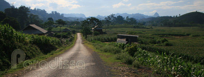
Dien Bien Phu Holiday Weather today
Date/time of update: April 2, 2025, 1:24 am, Timezone: GMT+7
Overcast Clouds
Temperature: 21.27°C
Temperature feels like: 20.91°C
Minimum Temperature: 21.27°C
Maximum Temperature: 21.27°C
Atmospheric pressure: 1017hPa
Humidity:56%
Visibility: 10000m
Wind speed: 1.58m/sec
Wind Direction: 89 degrees
Cloudiness: 100%
Sunrise: 2025-04-01 11:00:08
Sunset: 2025-04-02 11:22:39
Dien Bien Phu is the capital city of Dien Bien Province in the Northwest of Vietnam. Dien Bien Phu was the combat site of the Dien Bien Phu Battle which helped to change the course of the World History in the 20th century.
Dien Bien Phu Geography
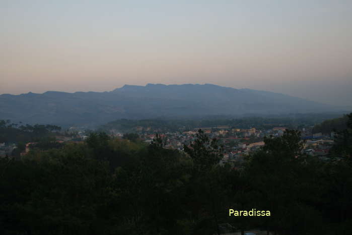
Dien Bien Phu City stretches the full length and breadth of the Muong Thanh Valley, the biggest valley in the Northwest of Vietnam. Dien Bien Phu means a big border province while Muong Thanh, the original name of the land, means “Muong Then” which in local Thai language means “Heavenly Land”. In fact, there are several high mountains on all sides of Dien Bien Phu City and the valley is a separated world separated from the outside.

The terrain of the Dien Bien Phu City is mostly flat with surrounding mountains. There is a Nam Rom River running through the city from north to south, then westwards into Laos. This river merges with other branches of the Mekong River in Laos.
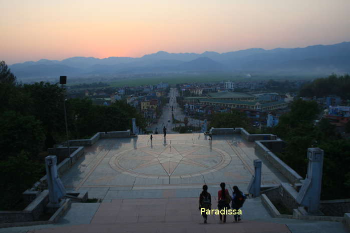
Dien Bien Phu People and Population
The population in Dien Bien Phu is composed mostly of the Black Thai and the Kinh (Viet). Local population mostly live on cultivating wet rice in the Muong Thanh Valley.
Climate
There are two seasons in Dien Bien Phu: the rainy season is from May to October; The dry season is from late November through April. Daily temperatures during March-October normally fluctuate between 20-40 Degrees Celsius. The hottest months are April, May, June, July, August.
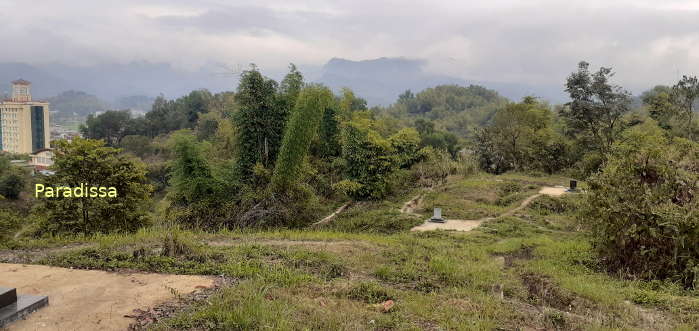
During December - February, daily temperatures are between 1-20 Degrees Celsius, this is the coldest period in Dien Bien Phu. The best time with pleasant temperatures and dry weather is March and April. March offers Camel-foot blossoms in case you are interested in flowers.
Dien Bien Phu Travel Guide, What to See, Tourist Attractions in Dien Bien Phu
All tourists attractions in Dien Bien Phu City are related to the eponymous battle. Visiting Dien Bien Phu means taking a trip back in time to learn the history and the course of the Dien Bien Phu Battle.
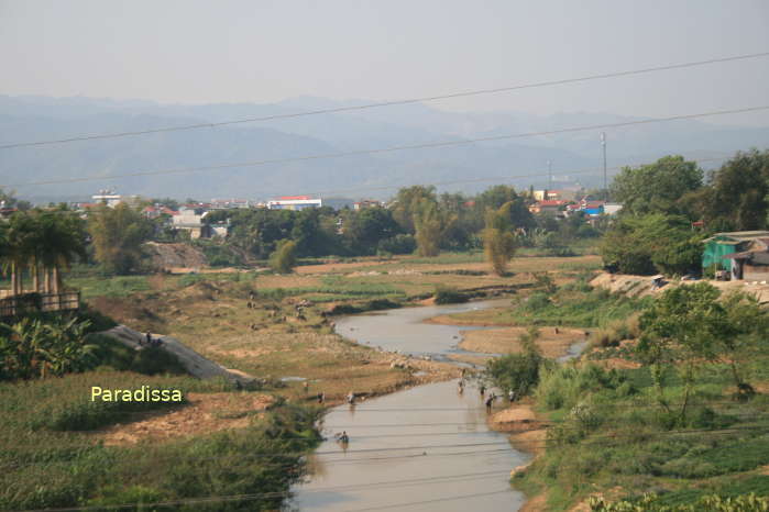
The following order of attractions make it more convenient for you to follow the course of the battle better.
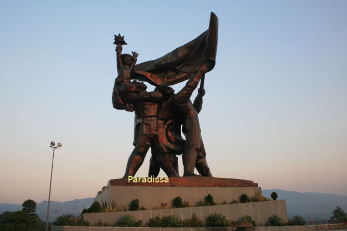
1/ Dien Bien Phu Museum
Have a virtual tour of the Dien Bien Phu Battle with a overview of the course of the battle and major events taking place.


2/ Him Lam (Beatrice)
The hill is located to the northeast of the French Hedgehog at Dien Bien Phu. This was the the most important base of the northern side of the Hedgehog and manned by the best French forces in Dien Bien Phu.
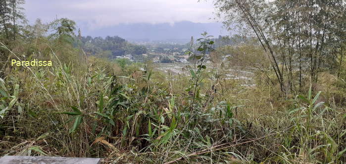
Him Lam was pounded by Viet Minh’s artillery which startled and virtually destroyed most of the French forces on the hill.

Him Lam Hill (Béatrice, Looking west to Doc Lap Hill)
3/ Doc Lap (Gabrielle)
A very strategic hill to the north of the Dien Bien Phu Hedgehog. The hill overlooks the road running north-south from Lai Chau into the Muong Thanh Valley. Doc Lap Hill was also best enforced hill of the Dien Bien Phu Hedgehog.

Doc Lap Hill (Gabrielle, looking south onto the National Road 12, once known as Route Pavie by the French)
4/ Ban Keo (Anne – Marie)
A knoll, low hill, located to the northwest of the Dien Bien Phu Hedgehog. Ban Keo was manned with mostly local Thai troops during the Dien Bien Phu Battle. Ban Keo fell without any bullets by the Viet Minh as they called the Thai troops to surrender.

Ban Keo Hill (Anne - Marie)
5/ A1 Knoll (Eliane 2)
This was the most important strong point of the Dien Bien Phu Hedgehog as it directly overlooks the Command Post. Eliane 2 fall means the fall of Dien Bien Phu. Viet Minh suffered high casualties in trying to overwhelm this knoll. It was brought down only when the Viet Minh exploded a 1-ton explosive which was buried deep in a tunnel beneath the French post on the knoll.
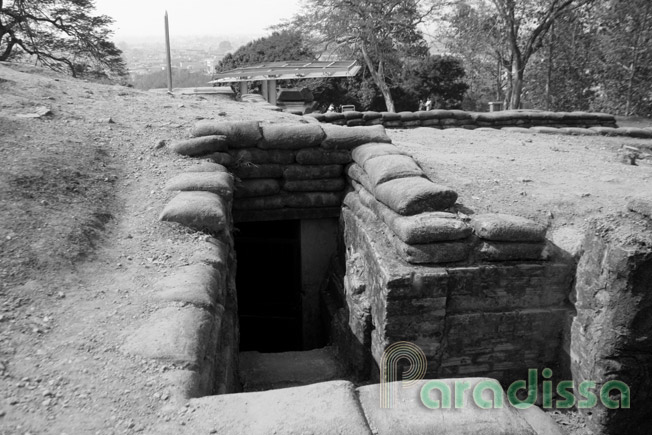
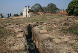
A1 Hill (Éliane 2)
6/ D1 Hill (Dominique 2)
This was the highest of all French strong points to the east of the Dien Bien Phu Hedgehog. There is now a memorial on this hill which offers great views of the Muong Thanh Valley.

D1 Hill (Dominique 2, View from Thanh Luong: West to East of the Muong Thanh Valley)
7/ C1 and C2 (Eliane 1 & 4)
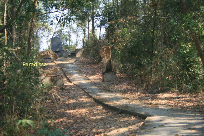
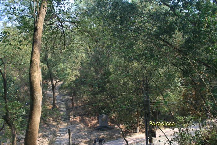
Two important hills to the east of the Dien Bien Phu Hedgehog which marked the longest and most brutal battles. The hills now are mostly covered in trees.
8/ The Muong Thanh airstrip
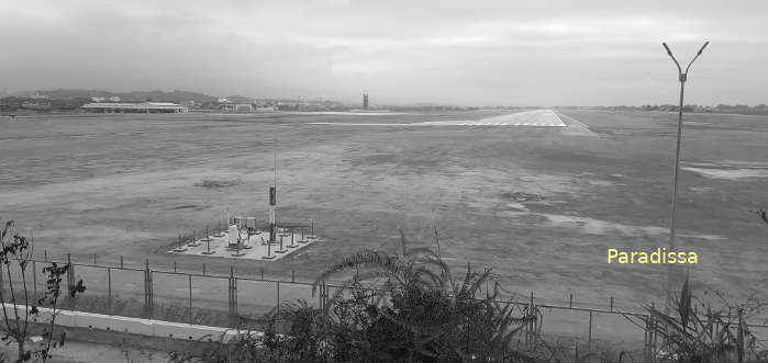
The French troops at Dien Bien Phu received all of their supplies via this airstrip which was constantly pounded by Viet Minh’s artillery and guns. The supplies were stopped later during the course of the Dien Bien Phu Battle which weakened the French Hedgehog quickly hence the fall of the French.
9/ Commander's bunker
The bunker is right to the south of the airfield where French commanders directed the battles. It was overwhelmed right after the fall of the French on A1 Knoll.
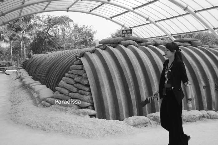
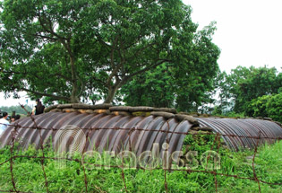
French commander's post at Dien Bien Phu - Vietnam
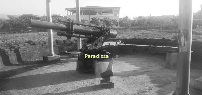

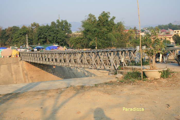
Muong Thanh Bridge
10/ Hong Cum (Isabelle)
This was the French strong points to the south of the Dien Bien Phu Hedgehog. There was an airstrip with fire points on flat ground on the both sides of the Nam Rom River. There was a road to Laos which was supposed to be the withdrawal route and which was sealed by the Viet Minh as soon as the Dien Bien Phu Battle started. Hong Cum was the last group of the French Hedgehog which surrendered bringing the complete fall of the French troops at Dien Bien Phu.
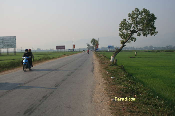
11/ E1 Hill (Dominique 1)
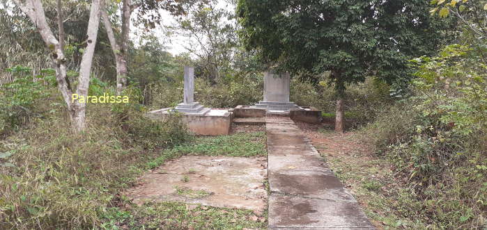
The E1 Hill (or Dominique 1 to the French troops) is across National Route 279 (or Route 41 in 1954) from and to the northwest of the D1 Hill (or Dominique 2). Along with the other hills of the Dominique Group, E1 protected the northeast of the French Dien Bien Phu Hedgehog. The battle at Dominique 1 was among the most brutal battles of the Dien Bien Phu Campaign.
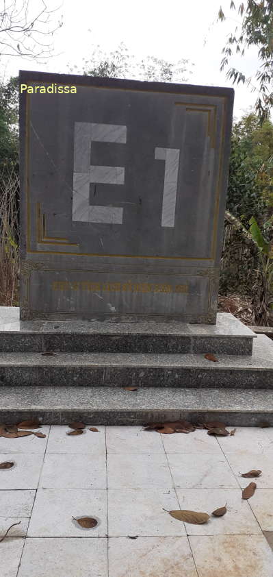
Visiting Dominique 1 noways, you will not see anything except for two stelae at the hilltop. The steps are steep. There is a steep and slippery slope connecting the hilltop and the steps which could cause a fatal accident to a visitor going downhill from the top. This path is short and can be easily overlooked which makes it even more of a danger!
Things to Do, Adventure Travel and Historical Tours in Dien Bien Phu
1/ Old Battlefield Tours, Historical Tours
Dien Bien Phu is for visiting the old battlefield of the famed Battle of Dien Bien Phu. You would need at least 1 full day to visit major combat sites of the former Dien Bien Phu battle including the Museum, A1 Knoll (Eliane 2), D1 Hill (Dominique 2), Commander's bunker, Him Lam (Beatrice), Doc Lap (Gabrielle), Ban Keo (Anne – Marie), Isabelle, C1 and C2 (Eliane 1 & 4),...
You may also like to visit Muong Phang where General Giap and his comrades commanded Dien Bien Phu Battle from; the trip requires another day.
2/ Adventure Travel, Adventure Tours to Dien Bien Phu City
Dien Bien Phu is located to the far northwestern mountains of Vietnam which is the land of the first-choice adventure travel by most travelers to Vietnam.
Paradissa Travel organizes historical tours to Dien Bien Phu from Hanoi, and adventure trips which combine Dien Bien Phu as well as other attractions in the North-West of Vietnam. Please contact our travel experts for a suitable trip of your dream.
Where to stay, Accommodations in Dien Bien Phu
There are guest houses, family-run hotels, mid range hotels and luxury hotels in Dien Bien Phu City. Most hotels have convenient locations for visits to major attractions in the city.
Restaurants and Bars in Dien Bien Phu
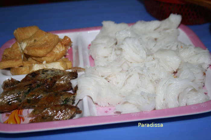
There are no fine-dining restaurants in Dien Bien Phu. Restaurants mostly cater to local guests. There are bars, cafes and karaokes where you could get cool drinks. There are several beer shops in the summer along the main streets in Dien Bien Phu City.
How to get there
1/ By road
Dien Bien Phu is 500km north-west of Hanoi, 300km southwest of Sapa, 160km west of Son La, 200km south of Lai Chau. All the road trips to Dien Bien Phu from the mentioned destinations offer scenic mountain landscapes with ethnic villages. The road condition is good.
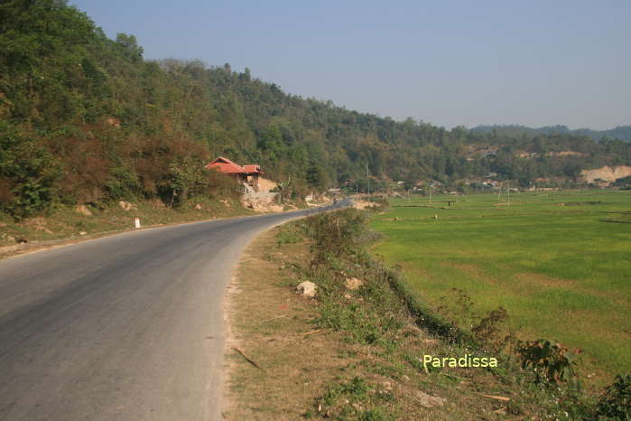
There is a border-crossing at Tay Trang between Dien Bien Phu and Huoi Puoc (Laos).

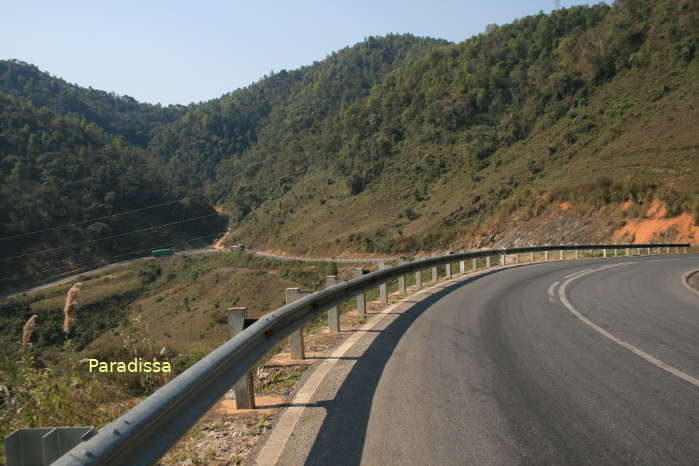
2/ By air
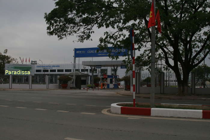
The flight from Hanoi to Dien Bien Phu takes 45 minutes. There are daily flights between these two cities.
Dien Bien Average Monthly Rainfall and Temperatures


