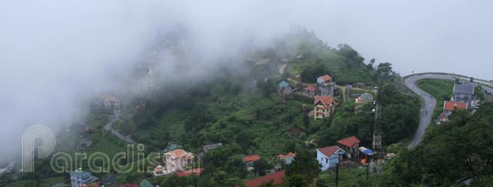
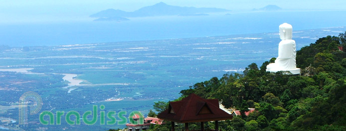
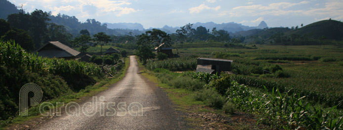
Tam Dao Hill Station is perched on the slope of Tam Dao Mountain Range, in Vinh Phuc Province, in the North West of Vietnam. The town has an average elevation of over 1,000m above sea level and is cool all year round.

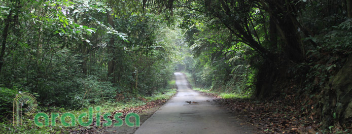
The mountains and forests of Tam Dao National Park
Travel Guide to the Tam Dao Hill Station, Vinh Phuc

Geography
Besides, Tam Dao Town is part of Tam Dao National Park which has the total area of 36,883 hectares and which is covered mostly by tropical forests. Since the town is covered in clouds most of the time, from distance and from above we can only see three mountain peaks around the hill station: Ban Thach (1388m above sea level), Thien Nhi (1375m) and Phu Nghia (1400m). Because of this reason, Tam Dao got its name which in Vietnamese means “Three Islands”.

French architecture at Tam Dao Hill Station
History
In 1904, the French built Tam Dao into a hill station for the officials of the colonial government to escape the summer heat in the Red River Delta. Tam Dao of the time had 143 hotels and villas with beautiful architecture. All these buildings were destroyed in the war, and what left now of the past are ruins of the once splendid beauties.

The cloud-covered town of Tam Dao
Travel and Tourism, Tourist Attractions, Things to do

Bamboo forest near the temple dedicated to the Goddess of the Mountains


Steps towards Thien Nhi Peak
How to get there

A French-styled villa at Tam Dao

Ruins of French villas at Tam Dao

The Silver Waterfall
Tam Dao Average Monthly Rainfall and Temperatures


