")
")
 and Tam Duong (Lai Chau)")
Country:
Vietnam
Sa Pa Holiday Weather today
Date/time of update: May 2, 2024, 3:44 am, Timezone: GMT+7
Broken Clouds
Temperature: 21.09°C
Temperature feels like: 21.11°C
Minimum Temperature: 21.09°C
Maximum Temperature: 21.09°C
Atmospheric pressure: 1009hPa
Humidity:71%
Visibility: 10000m
Wind speed: 1.27m/sec
Wind Direction: 125 degrees
Cloudiness: 73%
Sunrise: 2024-05-01 10:31:44
Sunset: 2024-05-02 11:31:19
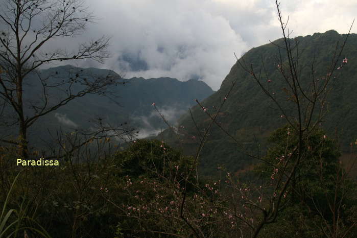
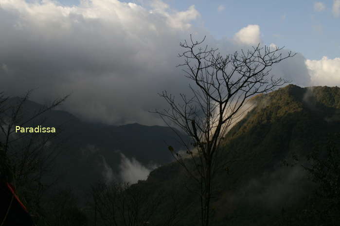
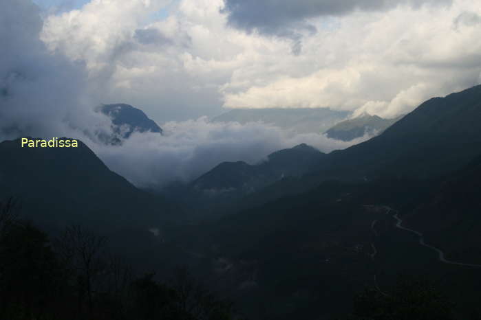
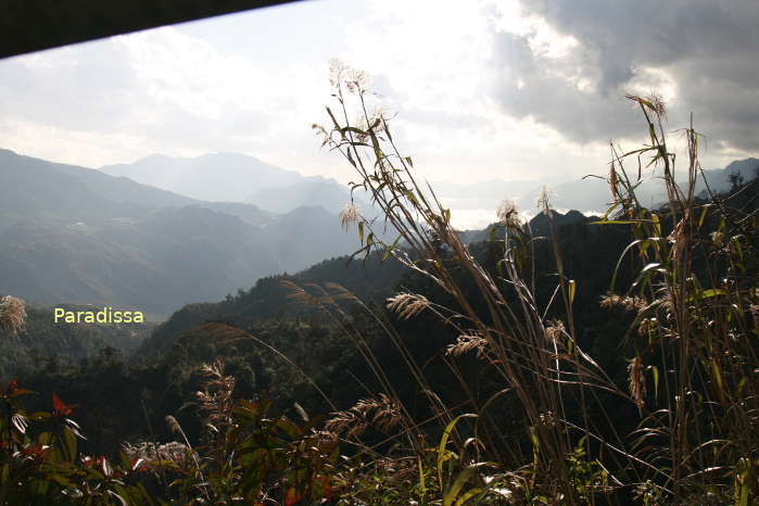
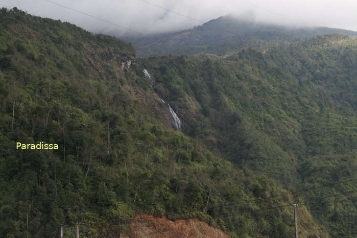
The O Quy Ho Pass runs through the Hoang Lien Mountain Range connecting Tam Duong District of Lai Chau Province and Sapa District of Lao Cai Province. The highest point on the O Quy Ho Pass is 2,000m above sea level.
What to See, Things to Do
The O Quy Ho Pass offers spectacular views of the mountains and valleys in the area. The top of the O Quy Ho Pass is known to the visitors as the Gateway to Heaven (or Pearl Gate) which is a must-stop for every passer-by.


, Dien Bien Phu Battle")


